Gateway Chapter Photo Gallery

Wyeth Hill Park Overlook
View of Missouri River from Wyeth Hill Park Overlook. Shows the area of the ferry crossing from the City of St. Joseph to the Kansas Territory.
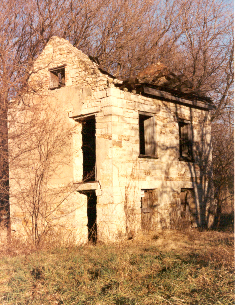
Banks Ferry House at Iowa Point
William Banks house just south of Forest City, Missouri. Banks operated a ferry at Iowa Point, a crossing to the north of St. Joseph.

Swale coming down into Wolf River valley
Remaining swale in eastern Kansas was made by emigrants as the descended into the Wolf River valley.
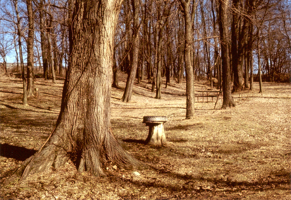
Swale in the Wolf River Valley still seen today
Swale coming into the Iowa-Sac and Fox Presbyterian Mission. The swale was on the road from the Iowa Point crossing. The road would join the main St. Joe Road just south of the Mission.

Iowa-Sac and Fox Presbyterian Mission
The Iowa-Sac and Fox Presbyterian Mission as it appears today.
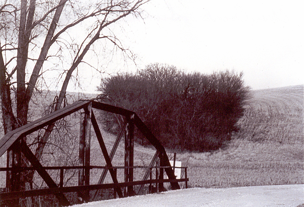
Clear Creek
Today trees grow up in the swale coming down into the valley of Clear Creek.
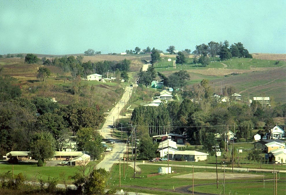
Bellemont Crossing
Emigrants crossing the Missouri River at St. Joseph’s main ferry at the foot of Francis Street, then traveled through 5 miles of river bottom land. Upon reaching the bluff, they followed Peter’s Creek and then turned north up the bluff. They would meet the road from the Bellemont crossing at the top of the bluff. This is modern day view showing the road up the bluff, still in use.
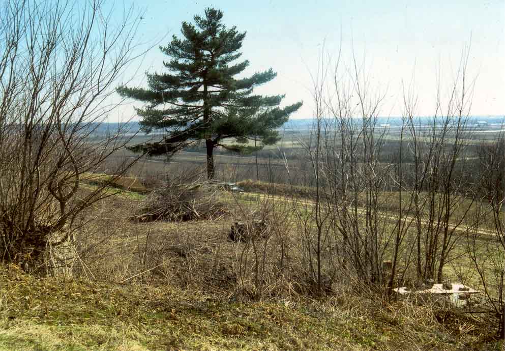
Belemont Landing
Looking east from top of bluff. After crossing at St. Joseph’s upper ferry (known as Parrot’s, Duncan’s, Belemont Landings at different points in time) the emigrants climbed the bluff and had this view of Missouri.

Wolf River
Wolf River was one of three major river crossings on the St. Joe Road. The others were the Nemaha and the Big Blue. Emigrants were in Indian land, and the Kickapoo often charged for crossing the Wolf River on their log bridge.

Prairie Kansas
The prairie of Kansas. Emigrants followed the ridges which were treeless. Trees grew along the creeks.
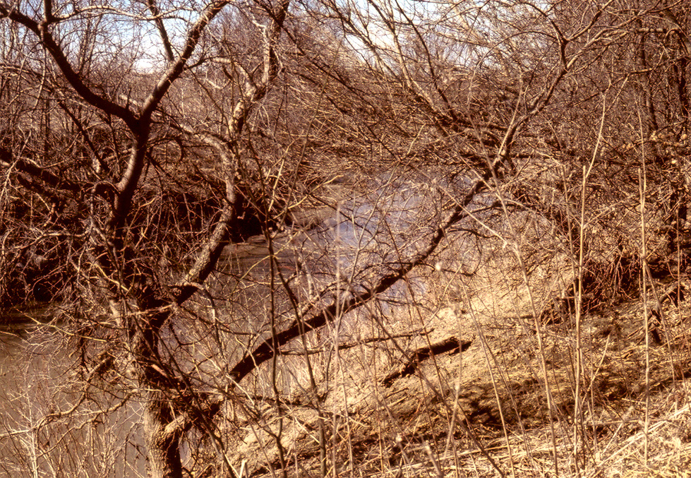
Nemaha River
The Nemaha River.

Mastin Stone
A remaining trail grave stone from just past Marysville, Kansas. Name on the stone is Mastin.

Big Blue River
Big Blue River at Marysville, Kansas, is the location of the crossing for the emigrants on the St. Joe Road.
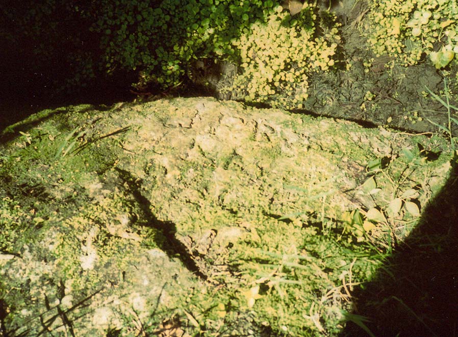
Reed in Alcove Rock
Less than 10 miles south of Marysville, Kansas, is the crossing of the Big Blue for the emigrants on the Independence Road. The Donner Party camped and crossed here in May 1846. James Reed carved his name on the shelving rock.
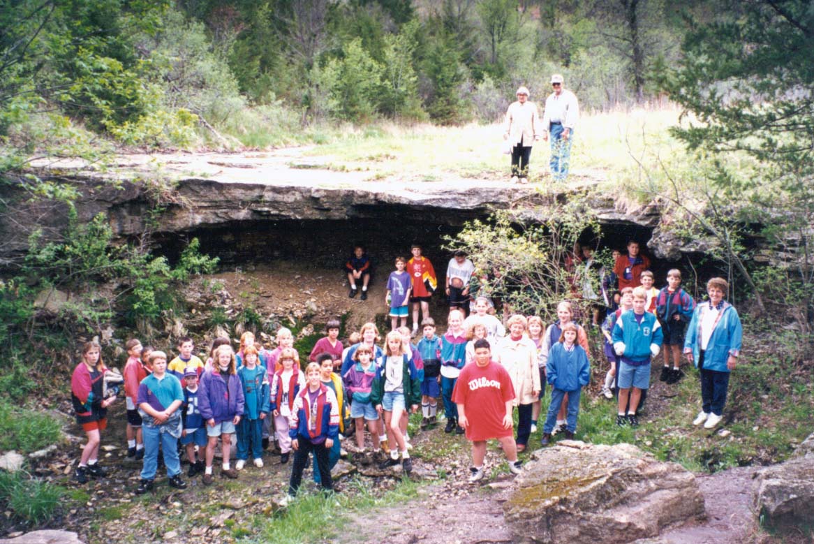
Alcove Spring School children
Emigrant Edwin Bryant wrote on May 27, 1846: “We found a large spring of water, as cold and pure as if it had just melted from ice. It gushed from a ledge of rocks, which composes the bank of the stream, and falling some ten feet, its waters are received into a basin. . . A shelving rock projects over this basin, from which falls a beautiful cascade of water, some ten or twelve feet. The whole is buried in a variety of shrubbery of the richest verdue. . . Altogether it is one of the most romantic spots I ever saw. . . We named this the ‘Alcove Spring’ and future travelers will find the name graven on the rocks, and on the trunks of the trees surrounding it.”
Shown are modern-day school children visiting Alcove Spring.
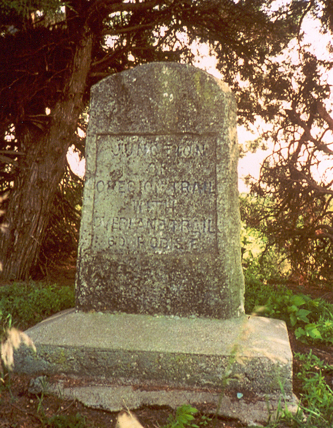
Junction Monument
Monument marking the junction of the St. Joe and Independence Roads located approximately 10 miles northwest of Marysville, Kansas.
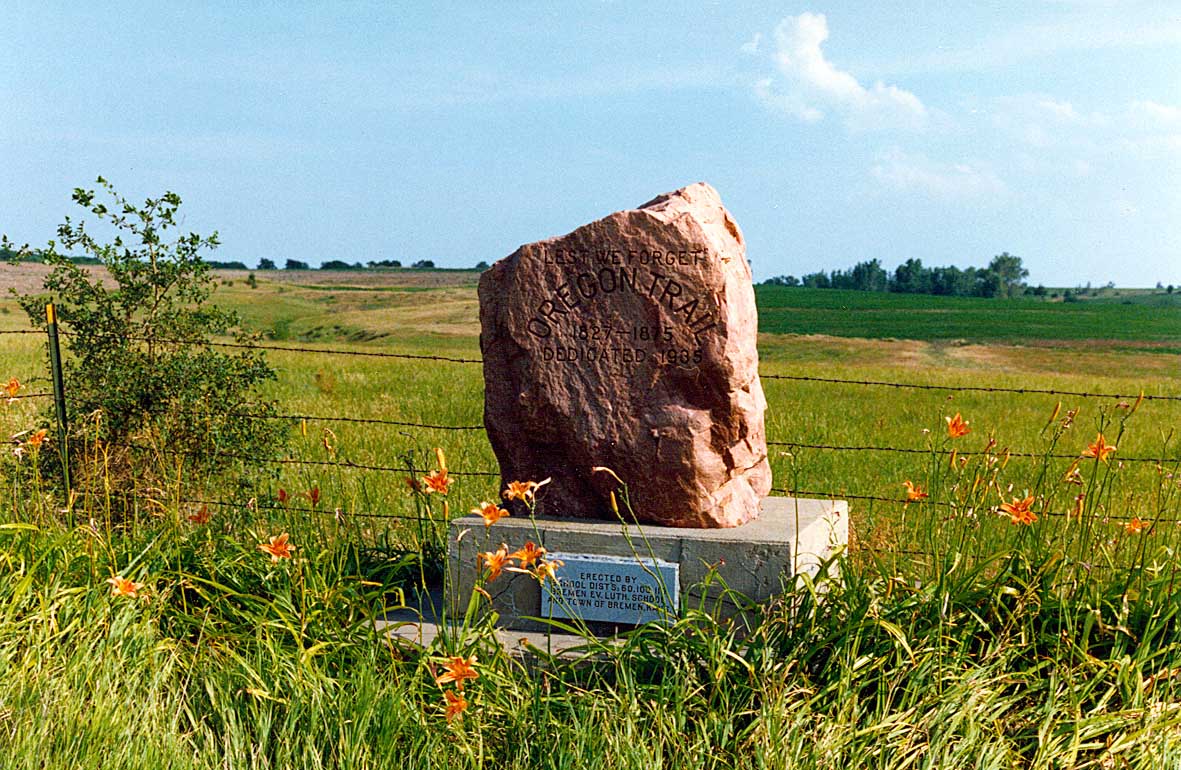
Junction Pink Monument
Granite marker placed by the Bremen School children also denoting the junction of the St. Joe and Independence Roads.
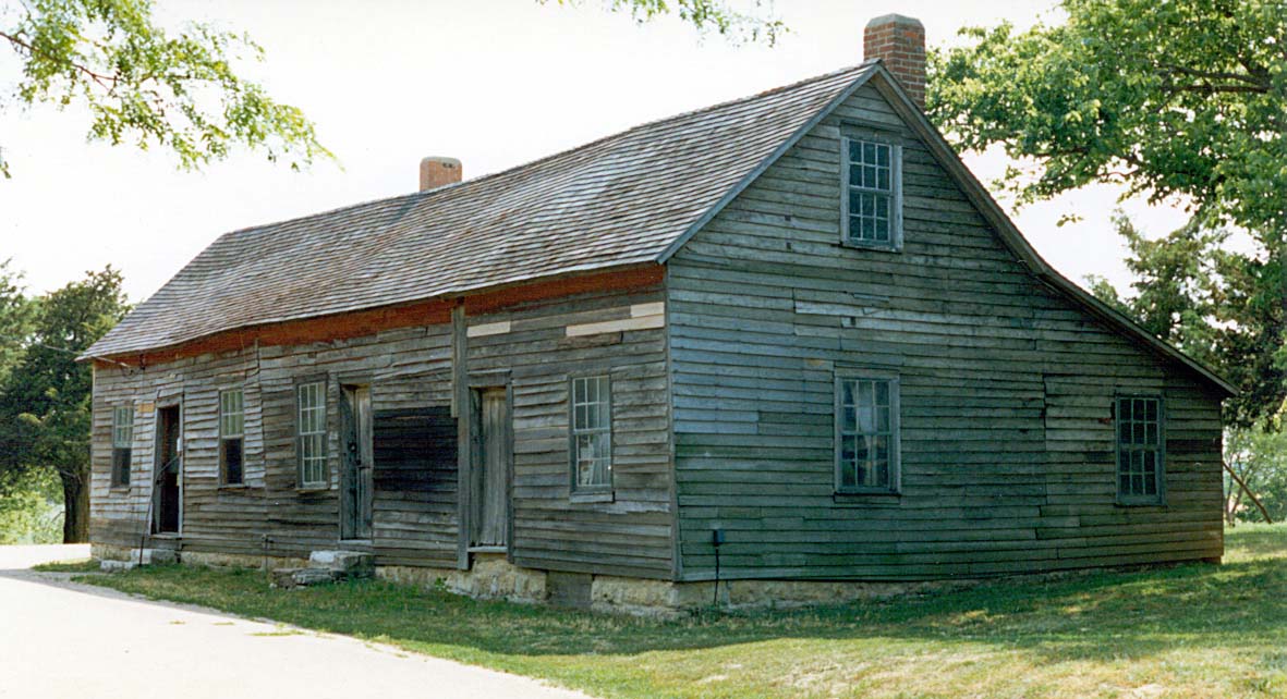
Hollenberg Station
Hollenberg Pony Express Station was first built in 1858 as a way station for travelers on the Oregon-California Trail. It is located near Hanover, Kansas.

Tri-County Monument
Monument on the border of today’s Kansas and Nebraska which marks the location of the trail.

